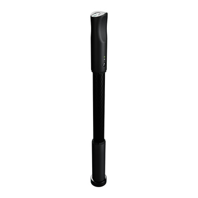
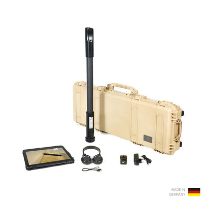
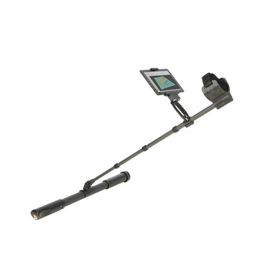
3D Ground Scanners
3D Ground Scanners analyze scan data via detection software Visualizer 3D Studio and determine the position, size and depth of buried objects before excavation. Underground structures are visualized by different colors in 3D scan images.
Applied Filters
Filter
عناصر تم اكتشافها
وضع التشغيل
الفئة
اجراء المسح الضوئي
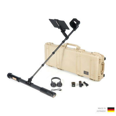
OKM Fusion Professional Plus
كاشف المعادن مع الكشف بالمسح المباشر